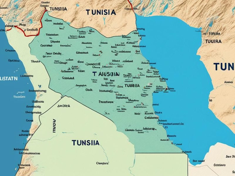
In the heart of North Africa lies Tunisia, a land with fascinating borders. This nation connects with just two countries. Yet, each border with Algeria and Libya means a lot. The western border with Algeria runs for 965 km. The border with Libya, to the southeast, is 459 km long. These borders do more than just divide. They are channels of culture, trade, and strategy. They place Tunisia at an important spot on the map.
Tunisia’s location at 34°N 9°E gives it a special charm. Its coast touches the Mediterranean Sea. This brings cool sea winds and rich history from ancient civilizations. Tunisia’s spot by the sea boosts its ecological and economic value in the region.
Key Takeaways
- Understand that Tunisia is bordered by just two countries: Algeria to the west and Libya to the southeast.
- Recognize the total Tunisia borders count culminates in 1,424 km of land demarcations.
- Acknowledge Tunisia’s global positioning at 34°N 9°E, adjacent to the singular Mediterranean Sea.
- Appreciate the diversity and relevance of Tunisia’s international boundaries in North Africa.
- Gain insight into the geopolitical influence wielded by Tunisia’s strategic land borders.
Understanding Tunisia’s Geographic Location
Tunisia sits in a unique spot within North Africa. It connects Africa to the Mediterranean world. Its long coastline and location play a big role in its history and place in world politics.
The North African Setting
Tunisia is right at the heart of North Africa. It shows off Africa’s geographical variety. The country is surrounded by the Sahara Desert and fertile plains that are common in this part of the world.
Proximity to the Mediterranean Sea
The Tunisia coast along the Mediterranean Sea matters a lot for its economy and culture. This 713-mile coast is a pathway for trade. It has also seen many historic migrations and conquests, adding to the area’s cultural richness.
Coordinates and Map Overview
Tunisia’s precise location is easy to find with its coordinates. It offers both coastal beauty and desert landscapes. These features define Tunisia. They highlight its role as a link between Africa and Europe.
| Feature | Description | Extent |
|---|---|---|
| Tunisia Coastline | Extends along the Mediterranean | Approx. 1,148 km |
| Geographical Coordinates | Central point of Tunisia | 34°00′N 9°00′E |
| Total Landmass | Relative to US state | 163,610 km² |
This overview shows Tunisia’s key position. We see its close relationship with the Mediterranean. Plus, its special land features. It’s not just a country in North Africa. It’s a vital player in the region’s larger political space.
Exploring Tunisia’s Bordering Nations
Tunisia is surrounded by two important countries, making it a key player in North Africa. Knowing about these borders helps us understand Tunisia’s role better. This includes its history, culture, and geography.
Western Neighbor: Algeria
The border with Algeria is 965 kilometers long. It separates and connects the two countries at the same time. This line goes through various landscapes like the Saharan Atlas Mountains. It’s a symbol of the shared past and cultures of Tunisia and Algeria. These two countries have been close for centuries, helping each other economically.
South-Eastern Neighbor: Libya
The border with Libya is 459 kilometers and is very different from Tunisia’s western border. It includes the dry Sahara Desert. Libya and Tunisia share a lot, including culture and economy. This connection highlights their importance to each other.
| Border | Length (km) | Geographical Features | Economic Implications |
|---|---|---|---|
| Algeria-Tunisia | 965 | Saharan Atlas Mountains, Mediterranean Coastline | Trade routes, shared economic zones |
| Libya-Tunisia | 459 | Sahara Desert, Mediterranean Coastline | Oil and gas commerce, migration pathways |
Tunisia’s Topographical Features Impacting Borders
The Tunisia topographical features shape the country’s natural borders. The land ranges from green, fertile plains to dry, vast deserts. This impacts how people farm, live, and how the country interacts with neighbors. Knowing about these landscapes helps us understand Tunisia’s natural wealth and border setup.
| Region | Topographical Feature | Description | Impact on Borders |
|---|---|---|---|
| North | Tunisian Dorsale | Mountain range extending to Cap Bon | Serves as a natural barrier and influences climate and agriculture |
| Northwest | Kroumerie Mountains | Reaching elevations up to 1,050 meters; experiences snow | Acts as a climatic divide and restricts easy cross-border movement |
| Central | Sahel Plains | Expansive plains known for olive cultivation | Facilitates agriculture, supporting economic stability along borders |
| South | Sahara Desert | Vast, arid desert landscape | Creates a natural buffer zone, limiting border conflicts and crossings |
The contrasts in Tunisia’s topographical features make noticeable divides. These are not just physical but also impact social and economic aspects. They shape everything from how people make a living to Tunisia’s role in the wider world. The Tunisia natural borders crafted by the land are key in the country’s past and its path forward.
Exploring Tunisia, in reality, or through learning, unveils how geography shapes life and rule. Seeing these landscape and border traits gives a fuller picture. It shows the melding of nature with everyday living and the nation’s governance in vibrant North Africa.
How Many Borders Does Tunisia Have? Exact Count and Length
Tunisia is in North Africa, touching borders with two major countries. These borders bring together different landscapes. Understanding them helps us grasp Tunisia’s geopolitics and culture.
Algeria-Tunisia Border Length
The Algeria-Tunisia boundary number is about 965 kilometers long. It stretches from the Mediterranean Sea in the north across to Tunisia’s west. The area showcases rugged mountains and deserts, showing the natural beauty Tunisia and Algeria share.
Libya-Tunisia Border Length
The Libya-Tunisia border length is roughly 459 kilometers. It starts at Zuwarah in Libya and goes deep into the Sahara. This border features both coastal and desert areas, highlighting Tunisia’s ties with Libya.
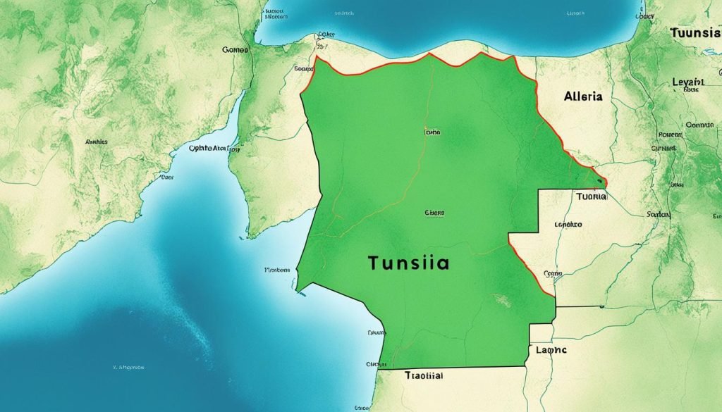
The total length and varied features of Tunisia’s borders affect its geography and relationships with neighbors. The Algeria-Tunisia boundary number and the Libya-Tunisia border length each have unique stories. They’re essential in understanding Tunisia’s connections with surrounding countries.
The Significance of Tunisia’s International Boundaries in Regional Politics
Grasping the Tunisia international boundaries helps us understand North Africa’s regional politics impact. Tunisia is at a key spot. It watches over important Mediterranean paths. This position influences the politics within the Maghreb region.
The borders Tunisia shares with Algeria and Libya are crucial. They affect regional politics in many ways like security, trade, and migration. These borders act as connectors and separators. They either help or hinder cooperation, depending on the political environment.
When diving deeper into Tunisia international boundaries, we see they’re more than just lines on a map. They play a big role in the regional politics drama. Talks, rules, and diplomatic moves about these borders shape Tunisia’s ties with neighbors. They directly affect its position on regional and global stages.
Conclusion
After exploring Tunisia’s international borders, you likely know more about its place in the world. Tunisia has a total land border of 1,424 kilometers. It shares this border with Algeria and Libya. These aren’t just lines on a map. They show the country’s rich geographical diversity, important for regional stability and culture.
The summary of Tunisia’s borders shows their importance. They make Tunisia a key player in North Africa and the Mediterranean. The landscape changes from mountains to the Sahara Desert. These borders help us understand Tunisia’s history, current challenges, and future opportunities.
Understanding Tunisia’s borders means seeing more than just their length. It’s about recognizing what these borders mean for the country. They shape Tunisia’s role on the world stage. Think about the political, economic, and cultural exchanges they allow. Tunisia’s place in the world highlights its lasting importance.

